-
Medidas
En este apartado es posible realizar medidas tanto lineales como poligonales sobre el mapa, la medida entre puntos se hace utilizando el método geodésico
This section allows you to take both linear and polygonal measurements on the map. The measurement between points is done using the geodesic method.
Medidas: -
Dibujos
En este apartado es posible realizar dibujos poligonales sobre el mapa
In this section, it is possible to create polygonal drawings on the map.
Herramientas Geoportal
-
Correo
-
GitHub
Contacto
-
Grupo Radiación y Sensores
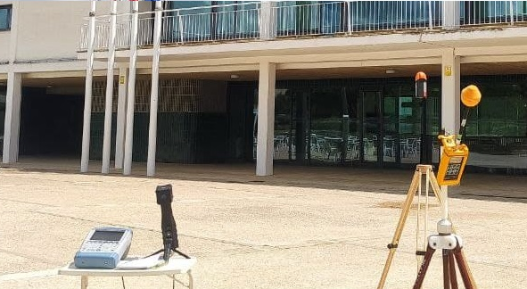
Bienvenid@s al visor web oficial del grupo de investigación en radiación y sensores de la Universidad de Alcalá. En el podrás visualizar toda la información geoespacial empleada en las investigaciones sobre contaminación electromagnética, realizadas desde el año 2017, hasta la actualidad en el municipio madrileño de Meco.
Os dejamos el link a las publicaciones vinculadas a estos datos: - Esperamos que toda esta información os sea de utilidad. Cualquier duda no dudeís en contactar con nosotros a través del correo electrónico habilitado más abajo.
-
Radiation and Sensors Group
Hello! 👋
Welcome to the official web viewer of the radiation and sensor research group of the University of Alcalá. In it you will be able to view all the geospatial information used in the investigations on electromagnetic pollution carried out from the year 2017 to the present in the Madrid municipality of Meco.We leave you the link to the publications linked to this data: - We hope that all this information is useful to you. Any questions do not hesitate to contact us through the email enabled below.
Presentación

-
Carga de capas
En este apartado es posible cargar capas raster desde servicios WCS
In this section, it is possible to load raster layers from WCS services.

